Project Details
Client |
Location |
Services |
| Bloomfield Township | Bloomfield, MI | GIS Utility Maintenance |
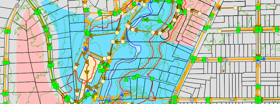
HRC was contracted to convert the storm, sanitary and water main utility data for Bloomfield Township’s 27 sections as part of a three-year project. After the initial data conversion process was completed, additional attribute information had been added to the database as other utility sources were converted. The additional information includes the invert and rim elevations, type of material, manufacturer and project dates, where available.
Another significant advancement in the Township’s GIS is the linkage of utility record drawings to show site specific information and profiles. HRC has added over 1,200 plan sets into the database, which allows the Township staff to point at any location in the Township and link to a PDF of any plans in the area. This saves the time needed to search for, retrieve and make copies of aging flat file plans. The result is a significant improvement in customer service while automating and preserving valuable historic documents.
HRC has used the existing GIS to develop a 3-D fly-through of a large commercial project proposed in the Township. This allowed the Township to review various scenarios as to how the development might look and what height restrictions to impose on the developer.


